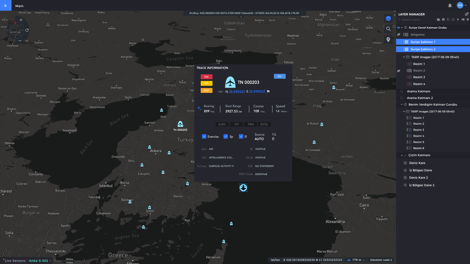
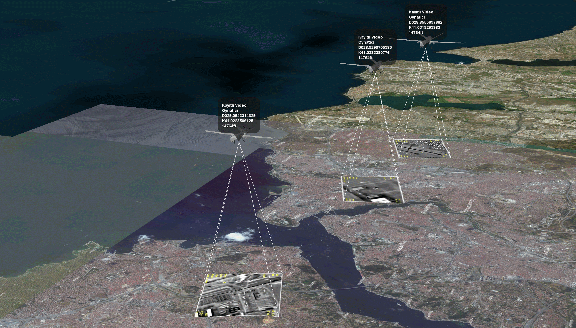
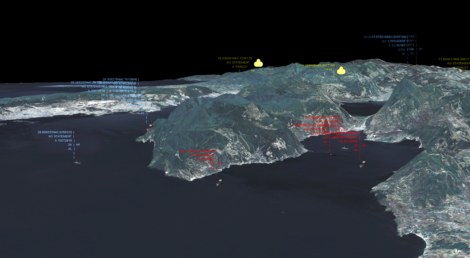
PiriMap is a comprehensive Geographical Information Systems (GIS) product providing an infrastructure to develop high performance map based desktop and web applications. PiriMap enables its customers to implement their system with developer and user friendly standard based GIS SDK (Software Development Kit) and Map Server.
PiriMap addresses a vast variety of GIS needs and can be used to build systems across many domain independent from platform. PiriMap is a backbone product issued in a number of areas, such as Intelligence, Surveillance, Reconnaissance (ISR) Systems, Maritime Navigation Systems, Emergency Management Information Systems, Command and Control (C2) Systems etc. at MilSOFT.